The Shape of a Civilization
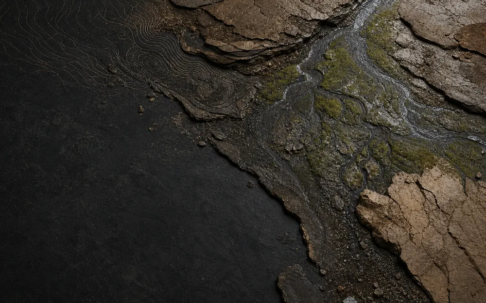
Ground Before Territory
Civilisations do not possess a single outline. Rivers, roads, fields and settlements make several overlapping shapes-and every map chooses which one will stand for the whole.

An interactive historical atlas
A gallery of cartographic visual essays. Read the world's maps against the grain - where every gain in accuracy or control leaves a silence behind - and cross them on one shared atlas of time, place, and power.
Start here
Terra Chartarum can be read as a set of stories, a cosmography of questions, or a map of objects and places. Pick the route that matches what brought you here.
Begin with a visual essay and follow one argument through its maps.
Browse essays →Enter one of seven rooms organised around earth, cities, borders, roads, and ideas.
Explore the rooms →Search the corpus in space and time, then open the record or essay behind it.
Use the atlas →
Ground Before Territory
Civilisations do not possess a single outline. Rivers, roads, fields and settlements make several overlapping shapes-and every map chooses which one will stand for the whole.
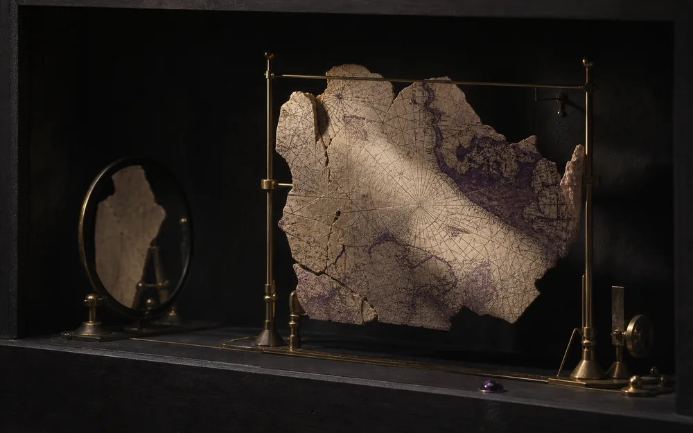
A Non-Linear History of Mapping
Eight thousand years of world-mapping read against the grain: every leap in accuracy, usability, or control exacts a quiet sacrifice in some other way of understanding space.
The Map After the Street
City maps preserve demolished walls, public interiors, property regimes and obsolete risks. Their memory is selective-and an overlay is an argument about what should still be made visible.
The Trench & the Museum of Dacian Cartography
Nineteen centuries of mapping Dacia and Romania staged as an excavation: maps as artefacts above the ground line, and as stratified silences below it.
Venice, Sicily, and Two Ways of Drawing the Same Sea
Six centuries of Mediterranean cartography set as a duel: Venice's maritime network against Sicily's administered territory - two ideologies of space drawn onto one sea.
The Routes Beneath the Portolan
Portolan charts made Mediterranean trade look effortless. The VMN authority tables reveal the jurisdictions, schedules, labour and negotiated privileges beneath every clean line.
The Hanseatic League and the Geography of Privilege
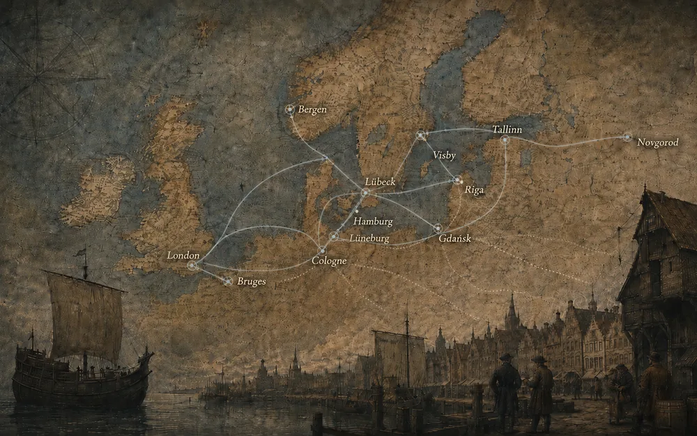
A commercial system from London to Novgorod became powerful without acquiring a continuous territory. Its operative map survived in routes, privileges, warehouses, city jurisdictions and archives.
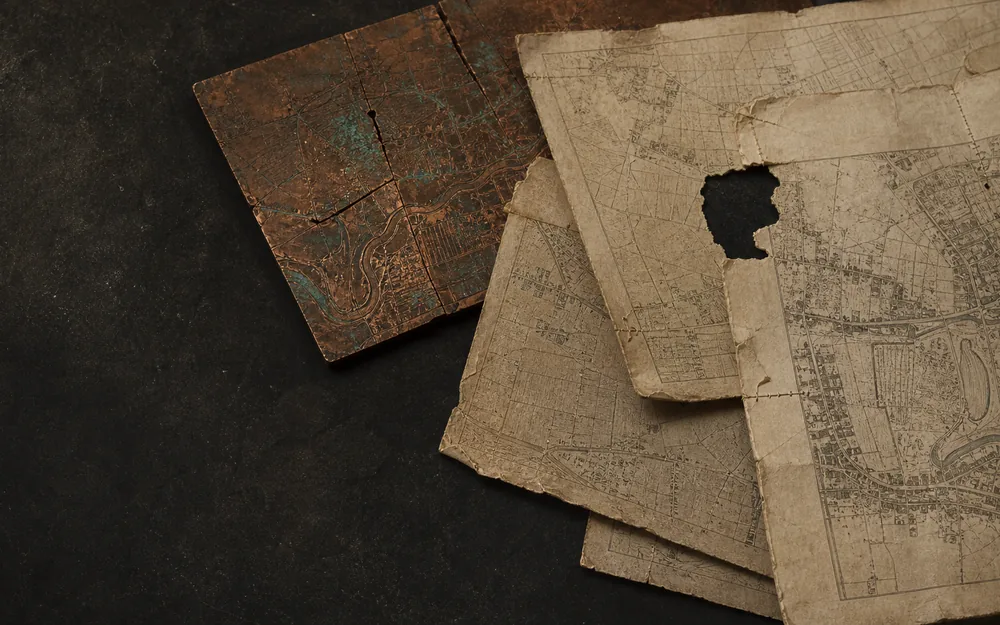
The Copperplate Remembers
A map can keep its title while its plate cracks, fades, is repaired, recut and corrected. Nine Ortelius impressions reveal age as an editorial history, not a date.
Sacred Space Before the Border
Nine Christian maps from Madaba to Bünting show how a centre, an orientation or a chain of stations can organise lived space without measured distance.